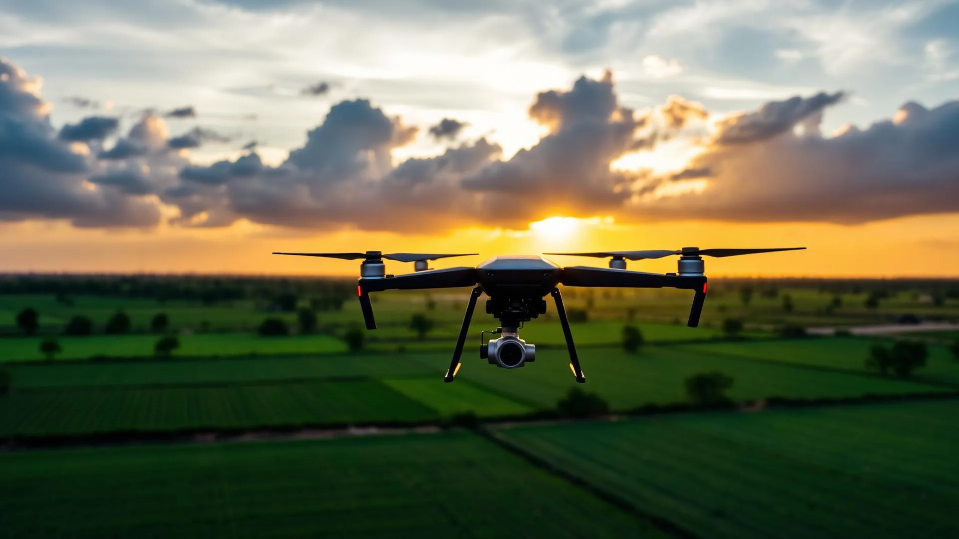
Professional Drone Solutions for Every Industry
Survey • Mapping • Agriculture • Inspection • Photography • Videography
Complete Drone Solutions
From field surveys to cinematic aerial content, we deliver end-to-end drone services with certified pilots and enterprise-grade equipment.
Survey & Mapping
High-accuracy topographic surveys, contour maps, volumetrics and orthomosaics with RTK precision.
Agriculture Spraying
Precision pesticide, fertilizer and micronutrient spraying for healthier crops and higher yields.
Inspection
Thermal and visual inspection of solar plants, power lines, towers and industrial assets.
India's Trusted Drone Service Partner
Dronix Pro is a DGCA-compliant drone service provider headquartered in Sankarankovil, Tamil Nadu. We combine certified pilots, advanced technology and transparent pricing to deliver reliable aerial solutions for every industry.
- DGCA-certified pilots
- Enterprise DJI drones with RTK & thermal
- Fast turnaround and detailed reports
- Affordable pricing with no hidden costs
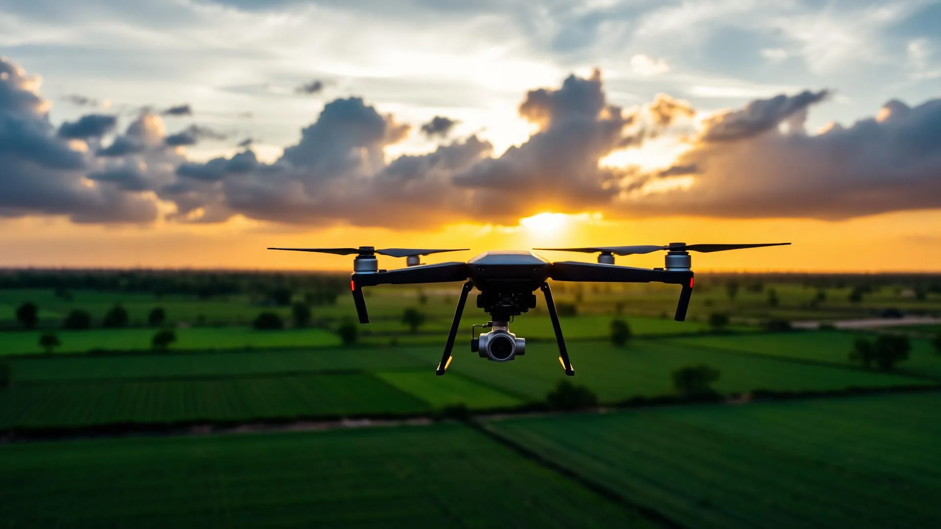
Expert Services Tailored to Your Needs
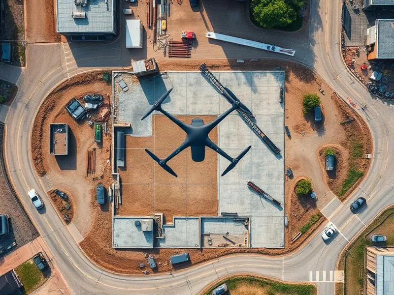
Drone Survey & Mapping
Orthomosaics, DEMs, contour maps and volumetric analysis for land development and mining.
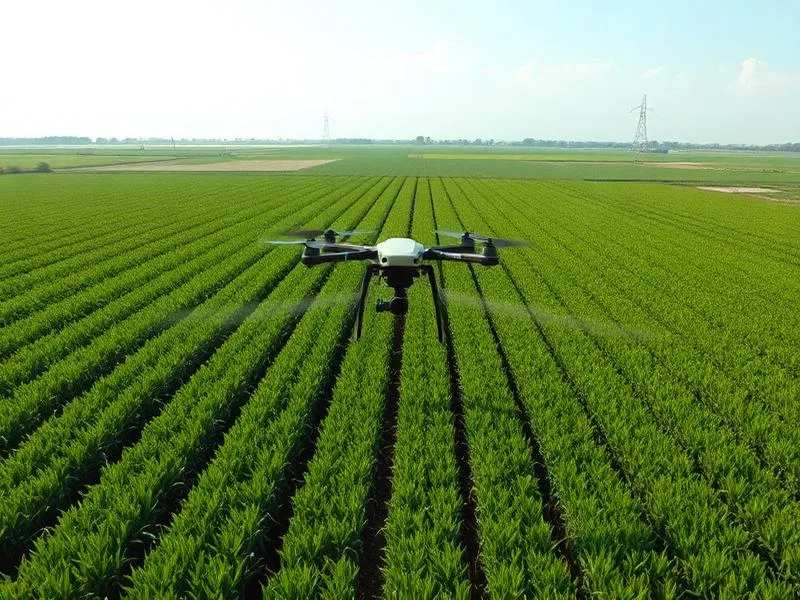
Agriculture Spraying
Precision spraying of pesticides and fertilizers to boost crop health and reduce manual labor.
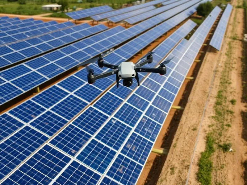
Solar & Thermal Inspection
Detect hotspots, panel defects and electrical issues with thermal imaging at scale.
Aerial Photography
High-resolution photos for real estate, events, weddings, tourism and marketing campaigns.
Aerial Videography
Cinematic 4K drone footage for commercials, documentaries, inspections and project showcases.
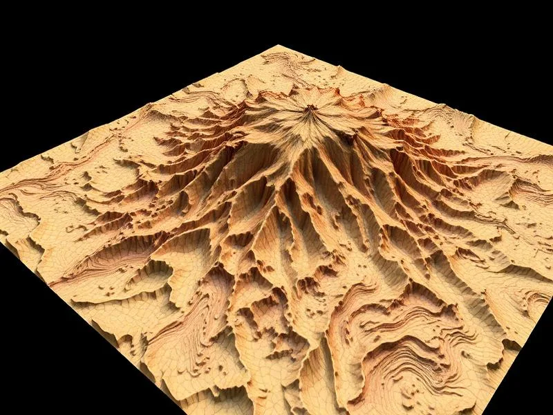
3D Mapping & Modeling
Photorealistic 3D models, point clouds and BIM-ready data for construction and heritage.
Trusted Across Eight Core Industries
Agriculture
Crop health, spraying, yield estimation.
Construction
Site surveys, progress tracking, BIM.
Real Estate
Cinematic aerial photography & tours.
Infrastructure
Roads, bridges, pipelines & utilities.
Mining
Volumetrics, pit surveys & haul roads.
Solar
Thermal & RGB inspection at scale.
Government
GIS mapping & infrastructure audits.
Telecom
Tower inspection & network planning.
Ready to elevate your project?
Get a free quote today and discover how drone technology can save time, reduce costs and improve accuracy.
The Dronix Pro story — aerial intelligence, built for India
Dronix Pro is a full-service, DGCA-compliant drone company delivering precision aerial data, cinematic imagery and mission-critical inspection across every corner of India. From the paddy fields of Tamil Nadu to solar farms in Rajasthan, from urban construction skylines in Chennai to remote transmission corridors across the Western Ghats, our pilots, engineers and analysts turn the sky into a productive extension of your workflow — faster, safer and dramatically more affordable than traditional ground methods.
A modern drone partner, not a rental service
Anyone can hire a drone. Very few teams can plan a repeatable mission, fly it under DGCA rules, capture data at survey-grade accuracy, process it into a clean deliverable and hand it to a decision-maker in a format they can actually use. That end-to-end promise — mission planning, certified flight, sensor calibration, photogrammetry, GIS export, quality assurance and support — is the reason clients across agriculture, construction, energy, telecom, mining and government keep returning to Dronix Pro.
We operate a mixed fleet of enterprise DJI aircraft, RTK-enabled multirotors, long-endurance mapping platforms and dedicated agriculture sprayers. Each aircraft is paired with the right payload — high-resolution RGB, radiometric thermal, multispectral, LiDAR or zoom optics — so the sensor matches the science of your project. It is this discipline, more than any single piece of hardware, that separates a professional drone deliverable from a hobbyist flyover.
Why aerial intelligence matters right now
India is in the middle of its largest infrastructure and industrial buildout in a generation. Highways, metros, solar plants, transmission grids, ports, warehouses, township developments, precision farms and smart-city projects are being commissioned at unprecedented pace. Each of these projects lives or dies on three ingredients: accurate baseline data, transparent progress tracking, and fast, safe inspection of the assets once they are live. Drones deliver all three at a fraction of the cost and risk of manual methods.
A traditional topographic survey of a 200-acre site takes weeks and produces sparse point data. A Dronix Pro drone survey captures the same area in a single day at 2–3 centimetre accuracy, with an orthomosaic, digital surface model, contour map and 3D point cloud that any engineer, architect or GIS analyst can open the next morning. That is not an incremental improvement — it is a structural change in how projects are planned and monitored.
What working with us actually looks like
1. Discovery call
We start with a free consultation to understand the objective, deliverable, timeline and any regulatory constraints such as no-fly zones, red-zone permissions or airport proximity. If a drone is not the right answer, we say so.
2. Mission plan and quote
Our operations team designs the flight lines, altitude, overlap and ground control strategy required to meet your accuracy target, then sends a transparent fixed-price quote with clear deliverables and turnaround. No hidden fees, no surprise data-processing charges.
3. Flight day
A two-person certified crew — pilot in command plus observer — arrives on site, executes the mission under DGCA rules, and captures raw data with real-time quality checks so we never leave a site with incomplete coverage.
4. Processing and QA
Data is processed on calibrated workstations, checked against ground control points, quality-reviewed by a senior analyst and packaged in the exact format your team uses — DWG, GeoTIFF, LAS, KML, MP4, JPEG or a private web viewer.
5. Handover and support
We do not disappear after delivery. Every project includes a walkthrough, revision window and named point of contact for follow-up work.
The numbers behind the promise
Over five hundred completed missions. More than fifty thousand acres surveyed. Radiometric inspection of over one hundred megawatts of installed solar capacity. Progress monitoring on multi-year construction projects worth thousands of crores. Aerial coverage of hundreds of weddings, films, sporting events and government ceremonies. Behind every number is a client who chose Dronix Pro because we picked up the phone, quoted honestly, arrived on time and delivered clean data.
Every project — big or small, one-off or long-term — is treated as a chance to prove why an in-house team recommends us to the next one.
Rooted in Tamil Nadu, ready anywhere in India
Our operating base in Sankarankovil gives us same-day reach across southern Tamil Nadu and next-day mobilisation to Kerala, Karnataka, Andhra Pradesh and Telangana. For pan-India engagements we deploy sealed equipment cases, spare aircraft and redundant batteries by air, and our pilots travel with hard-copy DGCA credentials, insurance certificates and site-specific risk assessments. Whether the mission is a single-day real-estate shoot or a six-month rolling construction-monitoring contract, the operational discipline is the same.
If you are evaluating drone partners for a project of any size, we would love the chance to earn that trust. Call us, message us on WhatsApp, or send a quick brief through the contact page — a senior member of our team will reply within one working day.
Technology, safety and the discipline behind every flight
The magic of a drone deliverable is not the aircraft. It is the invisible chain of decisions that begins the moment a client sends us a brief and ends only when the final data has been quality-reviewed, signed off and archived. That chain — mission planning, airspace clearance, sensor calibration, ground control, flight execution, data processing, quality assurance, deliverable formatting and post-delivery support — is where a professional drone company earns its keep. This section walks through the parts of that chain that most clients never see, so you know exactly what you are paying for.
Mission planning that starts with your decision
Every project begins with a single question: what decision does this data need to support? A construction owner deciding whether to release a milestone payment needs different evidence from a lender approving a drawdown, and both need different data from a design engineer optimising an alignment. We work backwards from the decision to the deliverable, from the deliverable to the sensor, from the sensor to the flight plan. Only then do we look at aircraft availability, crew rostering and price.
Sensor selection is a science, not a preference
Choosing between a global-shutter RGB, a mechanical-shutter mapping camera, a radiometric thermal, a five-band multispectral, a LiDAR pod or a long-range zoom optic is a decision with measurable consequences on cost, flight time, deliverable accuracy and interpretability. Our operations team runs a documented sensor-selection protocol for every mission so the choice is transparent, repeatable and — when a client asks — auditable.
Ground control, calibration and quality assurance
For every survey that requires better than five-centimetre accuracy, we place surveyed ground control points across the site and independently checked check-points that never enter the processing pipeline. After processing, the deliverable is validated against those independent points and a written accuracy report is included with the data. If a project is repeat-visit — monthly volumetrics, weekly progress captures, seasonal spraying — the same control network is reused so month-on-month comparisons are truly like-for-like.
Safety culture, not safety theatre
Every mobilisation is preceded by a site-specific risk assessment covering airspace, weather, obstructions, population density, emergency landing zones and communication protocols. Every flight has a designated pilot in command and a designated observer. Every battery is logged, every airframe is inspected on a pre-flight checklist, every incident — however minor — is reviewed at our weekly operations meeting. This discipline is not glamorous, but it is the reason our insurance history is clean and our client history is long.
What the finished data looks like
Depending on the mission, deliverables can include orthomosaics, digital surface and terrain models, contour maps, 3D point clouds, photorealistic textured meshes, radiometric thermal reports, defect-tagged inspection reports, NDVI and NDRE crop-health maps, volumetric analyses, colour-graded cinematic videos, still-image libraries and interactive web viewers. Every deliverable comes with a short walkthrough call so your team knows exactly how to open, share and interpret the data.
The people behind the pixels
Our team is small enough that every client interacts directly with a decision-maker and large enough that no mission is single-point-of-failure. Pilots, geomatics engineers, image analysts, cinematographers and client-success managers all sit under one roof, which is why turnaround is fast, hand-offs are clean and accountability never gets lost between vendors.
Above all, we take pride in being straightforward. If a mission is not the right fit for a drone, we say so. If the timeline you need is not realistic, we say so. If a competitor is genuinely a better fit for a particular sensor or geography, we say so. That honesty is the foundation of every long-term relationship we have built, and it is the standard by which we measure every new one.
Answers to the questions clients ask us most
Before wrapping up, here are the short answers to the questions we hear most often on first calls. If any of them are close to what you were about to ask, feel free to skip straight to the WhatsApp button — we would rather have the full conversation than the one-line answer.
Do you work with clients outside Tamil Nadu?
Yes — routinely, and increasingly. From our Sankarankovil base we deliver same-day scoping and next-day mobilisation across Tamil Nadu, Kerala, Karnataka, Andhra Pradesh and Telangana, and we handle pan-India engagements by flying pilots, sealed equipment cases and redundant batteries to any city with commercial air connectivity.
How quickly can you mobilise for an urgent inspection?
For genuinely urgent missions — post-storm solar inspection, transmission fault localisation, post-cyclone insurance response — we can typically mobilise inside twenty-four to seventy-two hours. Call the number on the contact page directly rather than emailing if the situation is urgent; our on-call engineer will assess feasibility inside the hour.
Do you offer training or consulting for in-house drone teams?
Yes. Some clients prefer to build in-house capability rather than outsource, and we are happy to support that decision. Training packages cover pilot certification pathways, sensor selection, mission planning, data-processing workflow, quality assurance and safety-management systems. Consulting engagements typically last three to six months and finish with your in-house team operating independently.
Can you integrate with our existing software stack?
Yes. Our deliverables integrate directly with Autodesk Civil 3D, Revit, ArcGIS, QGIS, ProjectWise, Bentley OpenRoads, Trimble Business Center, Pix4D, Bluebeam and a long list of construction-management and GIS platforms. If your team uses a niche tool, tell us at the scoping stage and we will confirm compatibility before we quote.
What is the smallest project you will take on?
Genuinely, we love small first projects. A single-parcel survey, a single-tower inspection, a single-day marketing shoot — every long-term retainer we currently run started life as exactly that kind of pilot mission. Ask us about first-project rates and we will send an indicative price the same day.