Expert drone services for every mission.
Precision aerial data, efficient crop care, safe inspections and stunning visuals — delivered by certified professionals.
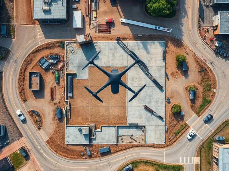
Drone Survey & Mapping
High-accuracy topographic surveys, orthomosaic maps, DEMs, contour generation and volumetric analysis. Ideal for land development, construction and mining operations.
- RTK/PPK centimeter-level accuracy
- Orthomosaics and digital elevation models
- Volume calculations and stockpile reports
Agriculture Spraying
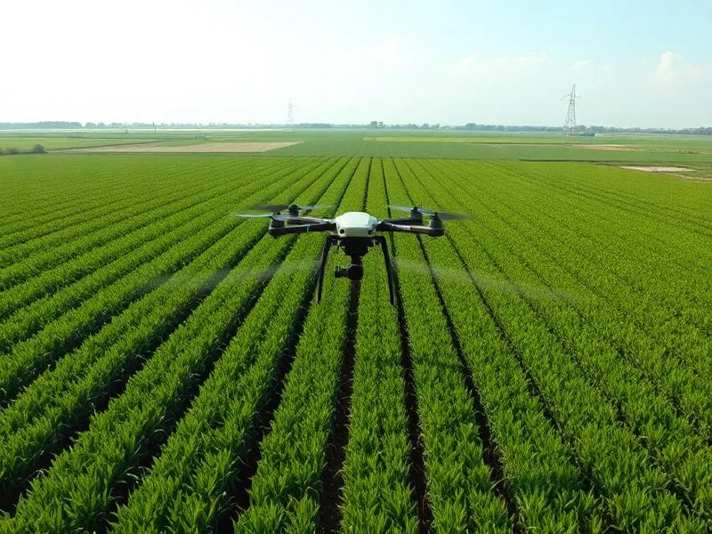
Precision drone spraying for pesticides, fertilizers and micronutrients. Reduce chemical usage, save water and cover large fields faster than manual methods.
- Uniform coverage with calibrated nozzles
- Faster application over large areas
- Reduced exposure to farm workers
Solar & Thermal Inspection
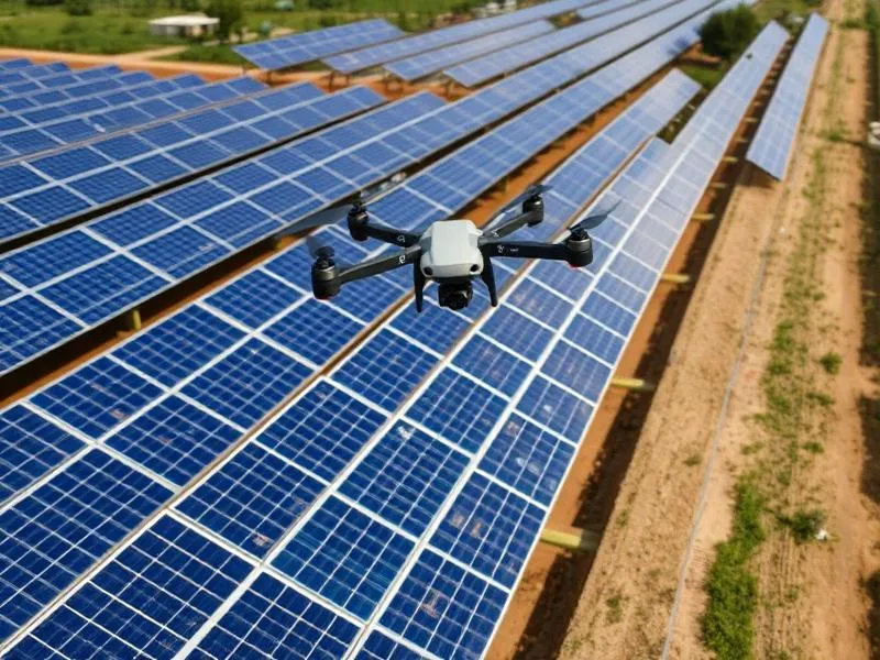
Identify hotspots, defective cells, bypass diode failures and string issues using thermal and RGB imaging. Faster and safer than manual rooftop checks.
- Thermal imaging for hotspot detection
- Detailed panel-level reports
- Improved plant efficiency
Aerial Photography & Videography
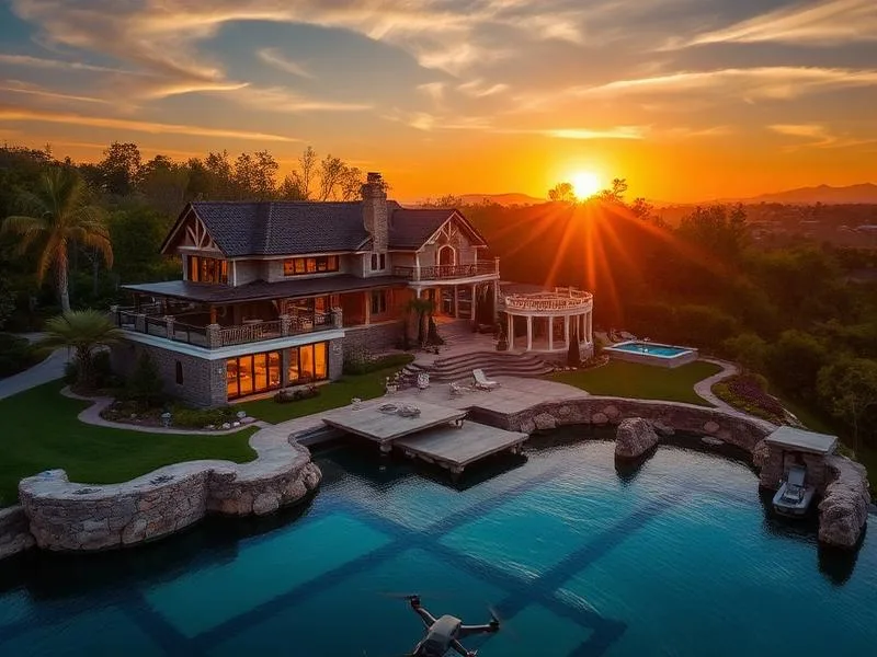
Stunning aerial imagery for real estate, events, weddings, tourism, construction progress and marketing campaigns in 4K clarity.
- Cinematic 4K video production
- High-resolution RAW photography
- Quick delivery and editing
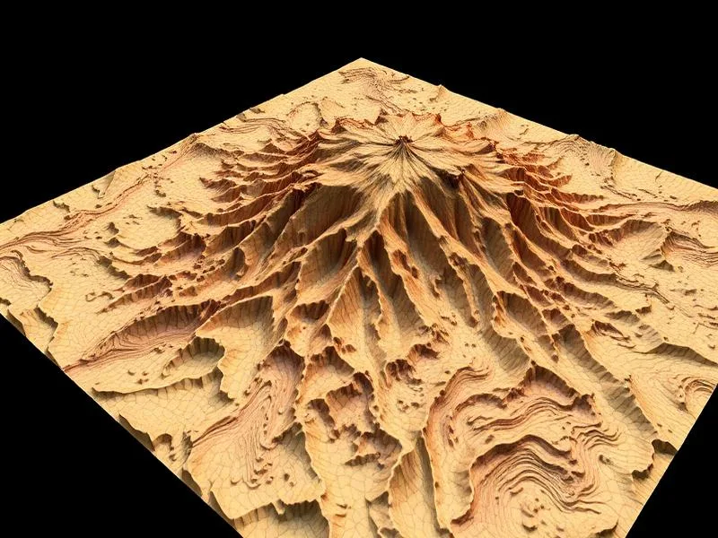
3D Mapping & Modeling
Photorealistic 3D models, point clouds and BIM-ready data for construction planning, heritage documentation and infrastructure assessment.
- Point clouds and mesh models
- BIM-compatible outputs
- Change detection over time
A complete portfolio of professional drone services
Dronix Pro delivers a full spectrum of aerial services under one roof. Whether you need a centimetre-accurate topographic survey, a radiometric thermal inspection of a live solar plant, a precision-agriculture spraying pass across two hundred acres or a cinematic aerial film for a wedding, our team combines the right aircraft, the right sensor and the right pilot for the job. This page walks through each service in detail so you can see exactly what you get, how we deliver it, and where it fits in your workflow.

Drone survey and mapping
Our flagship service. Using RTK/PPK-enabled multirotors and fixed-wing platforms, we capture ultra-high-resolution imagery and process it into geo-referenced orthomosaics, digital surface models, digital terrain models, contour maps and 3D point clouds. Typical horizontal accuracy is 2–3 centimetres when ground control points are used. Deliverables are provided in every major format — GeoTIFF, DWG, DXF, LAS, LAZ, KML and PDF — and can be delivered inside a private web viewer for stakeholder review.
Common applications include pre-construction site surveys, township master-planning, environmental baseline studies, boundary reconciliation, road and pipeline corridor design and volumetric earthwork calculations.
Land survey and cadastral mapping
For plot demarcation, boundary reconciliation and cadastral updates, we combine drone imagery with traditional total-station work to produce survey-grade deliverables that stand up to legal and municipal scrutiny. Every survey is co-signed by a licensed land surveyor and delivered with a full accuracy report.
Agriculture spraying
Purpose-built agriculture drones cover ten to twelve acres per hour with pinpoint accuracy, reducing chemical consumption by up to thirty percent while eliminating the health risks of manual back-spray. We handle everything from crop scouting to prescription-map generation to the actual spraying pass, and we work seamlessly with agri-input dealers, FPOs and government subsidy schemes.
Beyond spraying, our multispectral crop-health service uses NDVI and NDRE indices to identify stress zones before they are visible to the naked eye, giving farmers a critical head-start on irrigation, nutrition and pest management.
Power-line and transmission inspection
Traditional tower inspection is slow, expensive and dangerous. Our zoom-camera and thermal drone workflow captures conductor, insulator, damper and clamp condition from a safe standoff distance, identifies hotspots on live lines and delivers a defect-tagged report that maintenance teams can act on immediately. We routinely inspect 33 kV, 66 kV, 110 kV and 220 kV lines for state utilities and private transmission operators.
Solar plant inspection
Radiometric thermal plus high-resolution RGB imagery lets us catalogue every module in a plant, flag hotspots, diode failures, PID, cracks and soiling, and hand the O&M team a heat-mapped report tied to the exact string and inverter. For a 50 MW plant this typically takes two field days and saves weeks of manual IV-curve tracing.
Construction progress monitoring
Weekly or fortnightly aerial captures overlaid on the project BIM give owners, PMCs and lenders a single source of truth on schedule, material logistics and safety compliance. Deliverables include annotated orthomosaics, side-by-side time-lapse comparisons and short cinematic edits suitable for board updates.
Mining and quarry survey
Volumetric stockpile analysis, pit surveys, haul-road design and reserve-verification flights. Because our workflow is repeatable, month-on-month volume comparisons are trivial — a critical requirement for royalty audits and financial reporting.
Real-estate and marketing photography
Cinematic 4K and 6K aerial photography and video of villas, apartment projects, plotted developments and hospitality assets. Every shoot includes creative direction, colour grading and delivery in the aspect ratios required for print brochures, MLS listings, Instagram Reels and YouTube.
Aerial videography and event coverage
Weddings, concerts, sporting events, political rallies and corporate launches. Our cinematographers plan choreographed drone moves alongside your ground crew and deliver colour-graded edits — teasers, highlight reels and full-length films — that make your event look unforgettable.
3D mapping and photogrammetry
Photorealistic 3D models, textured meshes and dense point clouds suitable for BIM, GIS, virtual site tours, forensic reconstruction and heritage documentation. We deliver in OBJ, FBX, GLB, LAS and web-ready 3D Tiles formats.
Thermal inspection for buildings and industrial assets
Radiometric thermal imaging is not just for solar. We inspect roofs for moisture ingress, cold rooms for insulation failures, chimneys and boilers for hotspots, and MEP systems for hidden losses — all without shutting down operations or erecting scaffolding.
Custom and specialist missions
If it can be measured, mapped, inspected or filmed from the air, we can build a workflow for it. Recent one-off engagements include wildlife counts, coastal-erosion monitoring, temple-tower documentation, film-location scouting and stadium security overwatch.
Not sure which service fits your project? Send us a two-line brief and we will recommend the right combination — often for less than you expect.
Every service on this page is quoted transparently, delivered by DGCA-certified pilots and backed by a named engineer. Get in touch to discuss scope, timing and price for your specific mission.
Deliverables, formats and the fine print behind every service
The single most common question we get from technical clients is a version of, "What exactly will I receive at the end of the project, and in what format?" This section answers that question in as much detail as a public page can. If your team needs even more specificity — coordinate system, tile size, colour-depth, projection, metadata schema — ask us, and we will send a sample deliverable from the closest analogous project we have completed.
Survey and mapping deliverables
Orthomosaic in GeoTIFF, with resolution typically between 1.5 and 3 centimetres per pixel depending on flight altitude and sensor. Digital surface model and digital terrain model in GeoTIFF. Contours in DWG or DXF at intervals chosen by the client (0.25 m, 0.5 m, 1 m or 2 m are common). Dense point cloud in LAS or LAZ. A written accuracy report validating the deliverable against independent check-points. All deliverables are geo-referenced to the client-preferred coordinate system — WGS84/UTM by default, custom projections on request.
Agriculture deliverables
NDVI, NDRE and GNDVI crop-health maps in GeoTIFF and PDF. Zoned prescription maps in shapefile or KML, compatible with the majority of agri-drone spray controllers and tractor-mounted variable-rate spreaders. Post-spray coverage report showing actual flight lines, litres applied and blocks completed. Season-long summary report for cooperative and FPO clients.
Inspection deliverables
Radiometric thermal report with per-defect tagging (module ID, string, inverter for solar; tower ID, span, conductor position for transmission). Full-resolution RGB and thermal image library, geo-tagged. Interactive web viewer for large-scale inspections, with client-controlled access. Recommended remediation priority based on severity, safety impact and warranty timeline.
Photography and videography deliverables
Colour-graded video edits in the aspect ratios required for print, broadcast, YouTube, Instagram and LinkedIn. Full still-image library in RAW and finished JPEG. Master film in 4K or 6K with a hero cut, a launch cut and platform-specific social cuts. All shoots include on-site creative direction and a review round with the client before final delivery.
3D and mapping deliverables
Textured mesh in OBJ, FBX or GLB. Dense point cloud in LAS or LAZ. Cesium-compatible 3D Tiles for web deployment. Optional simplified low-poly mesh for BIM and visualisation workflows.
Turnaround, revisions and support
Standard turnaround for survey deliverables is seventy-two hours from the last flight. Rush turnaround is available for time-sensitive tenders and progress reports. Every deliverable includes one revision round at no extra cost — for example, a coordinate-system change, a contour-interval adjustment or a video re-cut against fresh notes. Post-delivery support and clarifications are available for a full month after handover at no additional charge.
Pricing philosophy
Every quote is a fixed-price commitment against a written scope. There are no hidden data-processing fees, no surprise mobilisation charges and no per-frame invoicing after the fact. If the scope changes mid-project, we discuss it before we invoice it. For repeat engagements — monthly volumetrics, seasonal spraying, quarterly inspection — we design a retainer that gives you priority scheduling and predictable costs.
What you should ask any drone vendor before signing
How many hours of certified command time do your pilots have on the specific airframe you will send to my site? What is your process for validating survey accuracy against independent check-points? What insurance cover applies to my mission? What is your typical revision rate and what causes revisions? Can you show me a redacted deliverable from a similar project? If a vendor cannot answer those questions crisply, keep looking. We are always happy to answer them ourselves before you commit to anything.
Sector-specific service configurations you can request today
Beyond the twelve core services listed above, we routinely bundle specific combinations for common client scenarios. This section describes those pre-packaged service configurations so your team can pick the one closest to your requirement and start the conversation from there.
Construction-monitoring subscription
Weekly aerial captures across the life of a project, with orthomosaic, progress overlay, side-by-side time-lapse and a two-minute cinematic edit delivered every Monday morning. Priced as a monthly subscription with the total commitment tied to the project duration. Ideal for projects between fifty crores and one thousand crores in value where owners, lenders, PMCs and marketing teams all need a single source of visual truth.
Optional add-ons include quarterly full-site 3D captures for design coordination, monthly safety-audit reports and dedicated cinematic drone days around major project milestones.
Solar operations and maintenance retainer
Comprehensive radiometric thermal inspection once a year, plus quarterly quick-scan inspections after major weather events. Deliverables include a defect-tagged report, an interactive web viewer, warranty-friendly documentation and a recommended remediation priority list. Priced per megawatt of installed capacity with volume discounts for portfolios above one hundred megawatts.
Optional add-ons include drone-based module cleaning coordination, string-level performance reconciliation against generation data, and inspection support during commissioning and post-commissioning warranty windows.
Precision-agriculture season pack
A season-long engagement covering multispectral scouting, prescription mapping, tank-mix spraying and post-harvest yield estimation across a defined acreage. Priced per acre with volume discounts for cooperative and estate clients. Designed to be affordable at the individual-farm level while scalable to thousand-hectare estate contracts.
Optional add-ons include weather-linked spray-window advisories, integration with agri-input dealer inventory systems and end-of-season summary reports tailored for subsidy documentation.
Real-estate marketing pack
A full marketing package for a single property or plotted development, including cinematic aerial films in multiple aspect ratios, a still-image library, a hero shot for the print brochure, and social-first edits for Instagram, YouTube and LinkedIn. Turnaround typically inside seven working days of the shoot.
Optional add-ons include on-site creative direction, ground-video coordination, animated logo openers and second-shoot days around launch events. Every real-estate engagement includes a review round with the client before final delivery so the deliverables land exactly on brand.