Our projects, delivered from the sky.
A selection of survey, mapping, inspection, agriculture and media projects completed across India.
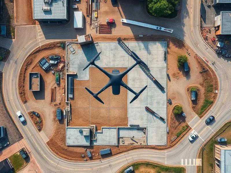
Topographic Land Survey
500-acre topographic survey with orthomosaic and contour maps for a real estate development.
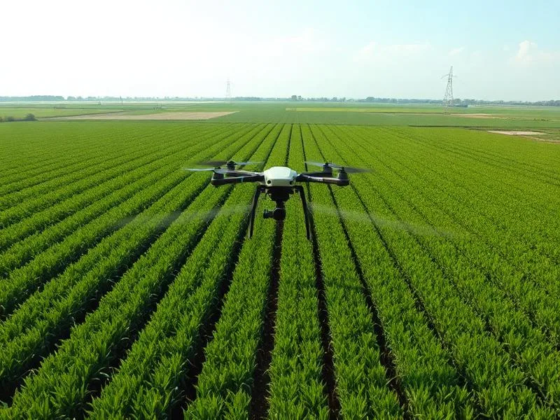
Precision Spraying
Pesticide spraying across 120 acres of paddy fields, reducing labor and improving coverage.
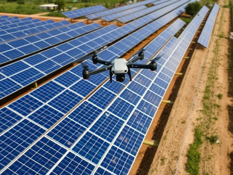
Solar Farm Thermal Audit
Thermal inspection of a 5 MW solar plant identifying hotspots and underperforming strings.
Resort Promotional Video
Cinematic 4K aerial video for a premium resort in Tamil Nadu.
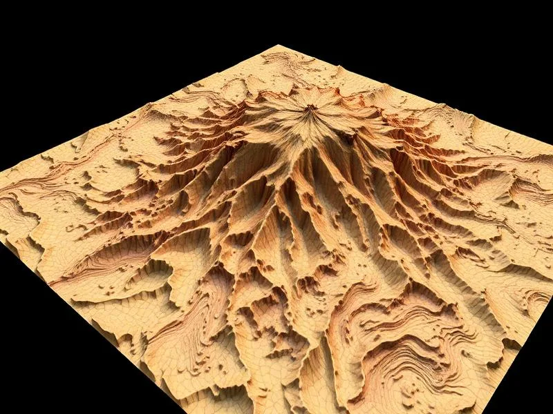
Mining Volumetrics
Monthly stockpile volumetric surveys for a granite quarry with accurate tonnage reports.
Telecom Tower Inspection
Visual and close-up inspection of transmission towers for a telecom operator.
Five hundred missions, every industry, one uncompromising standard
Numbers are easy to advertise; behind each of the projects in our portfolio is a client who trusted us with a real budget, a real deadline and a real problem to solve. This page walks through some of the recurring project archetypes we deliver, the workflow behind each one and the value clients typically extract from the finished data. Names are withheld unless the client has given written permission, but the technical specifications are exactly as delivered.
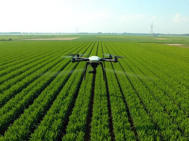
Precision crop spraying — a 200-acre paddy contract
Working with a farmer producers' organisation in southern Tamil Nadu, Dronix Pro executed a full-season spraying contract across two hundred acres of paddy. Multispectral scouting flights identified stress zones ahead of every spray pass; prescription maps directed variable-rate application; and a two-drone spray team completed each cycle inside two working days. The FPO recorded a fifteen percent reduction in chemical cost and a measurable yield uplift in the treated blocks compared to control plots.
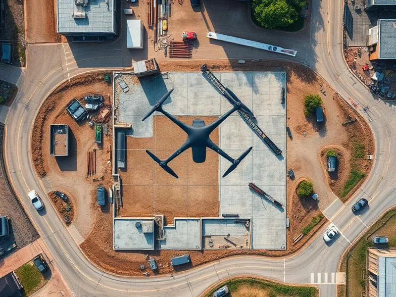
Topographic survey — mixed-use township, 480 acres
A private developer needed a survey-grade baseline for a phased township across four hundred and eighty acres of rolling terrain. Using an RTK-enabled multirotor with a network of ground control points, we captured the entire site in three flying days and delivered a 2-centimetre-accuracy orthomosaic, DSM, DTM, one-metre contours and a full 3D point cloud inside seventy-two hours of the last flight. Design consultants reported that our data eliminated three iterations of ground-truth revalidation from their programme.
3D terrain model — active mining site
For a limestone quarry operator, we established a monthly volumetrics contract. Each month, a repeatable flight plan captures the pit and stockyard, our processing pipeline reconstructs a dense point cloud, and volumes are compared against the prior month. The operator uses our signed report for royalty submission; internal planners use the terrain model for haul-road optimisation.
Thermal inspection — 5 MW solar plant
A radiometric thermal inspection of a five-megawatt ground-mounted plant identified twenty-three underperforming modules, four bypass-diode failures and two junction-box hotspots that had been missed in the routine monthly visual sweep. The plant O&M team addressed every finding inside the warranty window, recovering a measurable percentage of daily generation.
Transmission line inspection — 66 kV corridor
Twenty-two kilometres of live 66 kV line inspected in a single day using zoom-camera and thermal payloads. Defect-tagged reporting flagged three critical clamp issues and eleven medium-severity discrepancies. The utility avoided the need for line shutdown and manual pole climbs across the entire stretch.
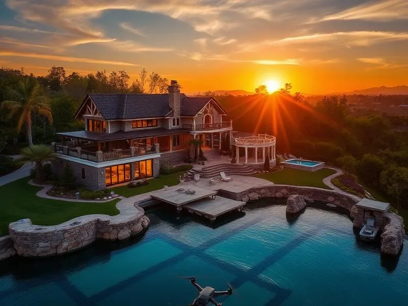
Cinematic aerial films — luxury property launch
A hospitality developer commissioned a launch film for a lakeside villa community. Over two shooting days, our cinematographers captured sunrise, midday and golden-hour footage across the site, delivering a three-minute hero film, a sixty-second social edit and a library of stills for print brochures. The client's launch event used the film as its centrepiece.
Highway corridor survey — 12 km
Corridor mapping for a state-highway upgrade, delivered in DWG and GeoTIFF with cross-sections at 25-metre intervals. Design engineers received the deliverable inside four working days of mobilisation.
Village boundary digital mapping
A district administration engaged us to update boundary and land-use maps for a cluster of eight villages, integrating drone-captured orthos with existing cadastral records. The resulting deliverable now underpins land-record digitisation across the block.
How we run every project
Whether the contract is a two-hour real-estate shoot or a two-year monitoring engagement, the discipline is identical: written scope, transparent price, DGCA-compliant flight plan, calibrated equipment, quality-reviewed processing, named point of contact and honest post-delivery support. It is the reason more than seventy percent of our billings this year came from repeat clients or their direct referrals.
Want to see a project deliverable in the format most similar to what you need? Ask us — with the client's permission we are happy to share redacted samples during the discovery call.
If any of the archetypes above look close to what you are planning, get in touch — we will send an outline scope and indicative price for your specific site inside one working day.
Behind the portfolio: process, discipline and the details that matter
Portfolios are easy to curate; what actually predicts whether a drone vendor will deliver for your project is the process that sits behind the pretty pictures. This section walks through how a typical Dronix Pro engagement unfolds — from the first phone call to the archived deliverable — so you can compare our discipline against any other quote you are evaluating.
Phase one — scoping and site understanding
Every project begins with a discovery call between the client and a senior engineer. We ask about the decision the deliverable needs to support, the timeline, the constraints, and the format your downstream team prefers. We look at site imagery on satellite maps, we check airspace status on Digital Sky and, for anything complex, we schedule a physical site visit before quoting. Only after that groundwork do we send a written scope and fixed-price quote.
Phase two — permissions and planning
DGCA Digital Sky filings, airspace clearances, no-fly-zone waivers and any local permissions are handled by our operations team on the client's behalf. Flight plans are designed against the accuracy target — flight height, image overlap, ground control network and sensor mode are all documented before mobilisation. For repeat-visit projects, we lock the flight plan so month-on-month captures are truly repeatable.
Phase three — mobilisation and flight
A two-person certified crew mobilises to site with sealed equipment cases, spare aircraft and redundant batteries. Every mission has a designated pilot in command and a designated observer. A written pre-flight checklist is completed and archived. Real-time quality checks during the flight confirm coverage, image sharpness and sensor calibration, so no crew ever leaves a site with incomplete data.
Phase four — processing and quality assurance
Data is processed on calibrated workstations by a dedicated geomatics team. For surveys, results are validated against independent check-points not used in processing. For inspections, every defect is reviewed by a senior analyst before it enters the final report. For cinematic edits, a director-level review pass precedes client delivery. Nothing goes out without a second set of eyes.
Phase five — delivery and support
Deliverables are handed over in the client's preferred format with a walkthrough call. One revision round is included at no cost. Post-delivery support and clarifications are available for a full month after handover. For retainer clients, the archived dataset is retained on our servers for as long as the retainer is active, so future comparisons and audits are trivially straightforward.
What clients tell us matters most
Post-project surveys reveal a consistent pattern: clients rank on-time delivery, honest scoping and responsiveness above every other attribute — above price, above equipment, above software. That order of priority has shaped our operations culture more than any single technical decision. It is why our WhatsApp line is monitored on weekends, why quotes go out within one to two working days, and why we would rather turn down a mission we cannot deliver on time than accept it and disappoint.
Case-sample formats we can share on request
With the relevant client's permission, we are happy to share redacted samples of orthomosaics, DSMs, contour plans, thermal inspection reports, agriculture prescription maps, volumetric analyses and cinematic reels during the discovery call. Seeing a real deliverable from a similar project is by far the fastest way to know whether our output format matches your team's workflow.
Ready to add your project?
If any of the archetypes on this page look close to what you are planning, send a two-line brief through the contact page or over WhatsApp. We will reply within one working day with an outline scope and an indicative price band, and — if you like what you see — we will schedule the discovery call from there.
Long-term engagements, retainers and the projects that never fit a single line item
The case studies elsewhere on this page describe discrete engagements with a start and an end. Much of our most rewarding work is the opposite — long-term retainers, multi-year monitoring contracts and rolling frameworks that span dozens of individual missions across the life of a project or asset. This section describes what those long-term relationships look like in practice.
Multi-year construction-monitoring frameworks
For large infrastructure and township projects, weekly drone captures across a two-to-five-year construction period produce something no single-flight engagement can: a permanent visual record. Milestones, disputes, safety incidents, weather events and design changes are all captured in geo-referenced, time-stamped imagery. Owners tell us this record has repeatedly saved them from expensive claims and given them a level of transparency that ground methods simply cannot match.
Framework contracts also let us optimise the price. Because our crew is scheduled in advance, mobilisation costs are amortised across every visit, and clients typically pay ten to fifteen percent less than they would for spot missions.
Rolling agriculture programmes across the season
Season-long agriculture engagements combine multispectral scouting, prescription spraying, coverage reporting and yield estimation into a single retainer. For cooperative and estate clients, the retainer often expands to include capacity-building workshops for farmer members and integration with agri-input dealer supply chains. The compounding value across a full season is dramatically higher than the sum of individual flights.
Season retainers also let us schedule pilots and equipment against agronomic calendars, so spray windows are never missed for want of a mobilisation slot. That single benefit is often decisive for high-value crops with narrow application windows.
Annual and quarterly inspection retainers
Solar plants, transmission corridors, industrial facilities and tank farms all benefit from a scheduled inspection cadence tied to the client's calendar. Our retainer clients typically receive one comprehensive annual inspection plus targeted quick-scan inspections after major weather events, with data archived on our servers for as long as the retainer is active so year-on-year comparisons are trivially straightforward.
Retainer clients also receive priority scheduling for emergency response — a critical benefit when a storm, fire or grid event demands drone-based assessment inside twenty-four hours.
Framework contracts with government and PSU clients
Government departments and public-sector undertakings often prefer to engage vendors through multi-year framework contracts covering a defined menu of services and geographies. Dronix Pro holds framework relationships with several state and municipal bodies, and we welcome the chance to bid for new frameworks where our capability, compliance and pricing genuinely add value.
If your organisation is considering a long-term drone engagement rather than a one-off mission, we would love to have that conversation. Framework contracts take a little longer to set up, but they produce dramatically better outcomes — for both sides — than a sequence of unconnected spot engagements.